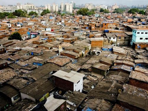

In a significant development for one of Mumbai’s oldest fishing communities, the Government of Maharashtra has formed a high-level committee to finalise the boundary demarcation of Dharavi Koliwada.
The move comes after multiple objections were raised over the proposed boundary map, delaying clarity on land limits in the area.
Why This Committee Has Been Formed
The issue of defining boundaries for Koliwadas (traditional fishing villages) in Mumbai has been under discussion for years.
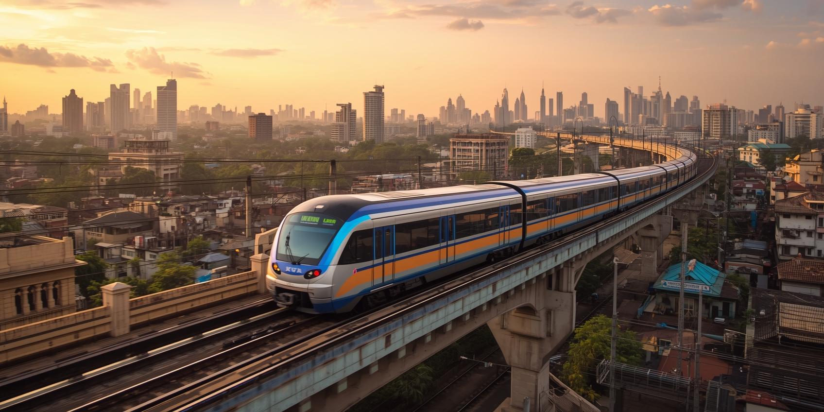
A survey map prepared in 2018 by the Mumbai City Collector’s office had proposed boundaries for Dharavi Koliwada. However, several stakeholders—including the Dharavi Redevelopment Project—raised objections to the demarcation.
Following these objections, a meeting was held on April 8, 2026, involving local representatives and fishing community groups. Based on the discussions, the government decided to set up a committee to review the matter and make final recommendations.
Who Is in the Committee
The committee will be chaired by the Konkan Divisional Commissioner and includes senior officials from multiple departments such as:
- Land Records Department
- Brihanmumbai Municipal Corporation
- Mumbai City and Suburban Collector offices
- Environment Department
- Fisheries Department
The Deputy Director of Land Records (Konkan region) will act as the Member Secretary.
What the Committee Will Do
The panel has been given a clear mandate:
- Review and finalise the 2018 boundary survey map of Dharavi Koliwada
- Hear objections from stakeholders, including fishing community representatives
- Consider previous directions issued in government meetings
- Conduct additional जांच (inquiry) or site visits if required
The committee has also been given the authority to call for documents from agencies like the BMC, Collector’s office, and Dharavi Redevelopment Project.
Timeline: Report in 3 Months
The committee has been asked to submit a detailed report with recommendations within 3 months.
It can also invite experts or retired officials to assist in the process if needed.
Why This Matters
The demarcation of Dharavi Koliwada is crucial because:
- It impacts land ownership and rights of fishing communities
- It is directly linked to the larger Dharavi redevelopment plan
- It will determine how much land is protected for traditional use
Any final decision will have long-term implications for both development and community preservation.
Background of the Issue
Earlier, in 2012, the government had set guidelines for demarcating Koliwadas across Mumbai. A six-member committee was also formed at the time to establish a proper framework.
However, disputes over actual boundaries continued, especially in areas like Dharavi where redevelopment plans overlap with traditional settlements.
What Happens Next
Once the committee submits its report:
- The state government will take a final call on boundary approval
- This could pave the way for faster decision-making in Dharavi redevelopment
- It may also set a precedent for other Koliwadas in Mumbai
Also Read: Dharavi Redevelopment: 10 Years of No Maintenance