
In a significant reform aimed at reducing delays in land-related services, the Maharashtra government has approved the appointment of licensed surveyors through agencies at the district level to expedite land measurement (mojani) and demarcation work.
The Government Resolution (GR), issued by the Revenue and Forest Department, seeks to address the growing backlog of land survey cases caused by limited government manpower and rising demand for accurate land records.
Why This Decision Matters
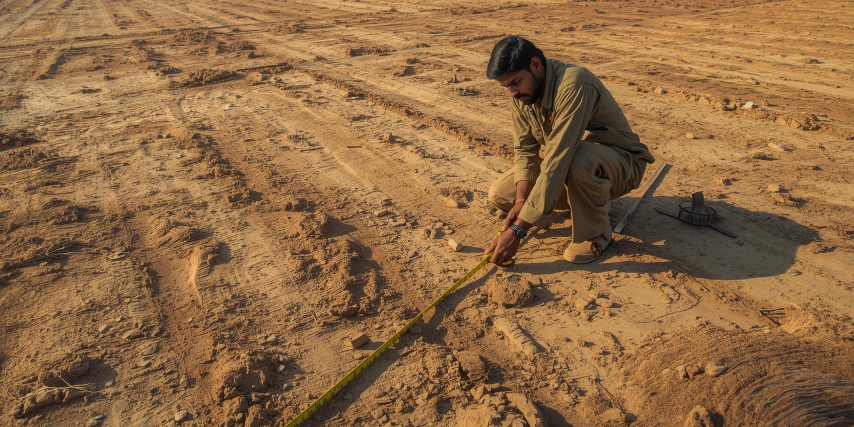
Land measurement and boundary demarcation are critical for property transactions, infrastructure development, and dispute resolution. However, delays in these processes have been a persistent issue across Maharashtra.
To tackle this, the government has decided to outsource survey work to qualified, licensed professionals, ensuring faster, more transparent, and efficient service delivery.
Key Highlights of the Policy
👉 District-Level Selection Committee
Each district will form a committee led by the District Collector to select agencies through a tender process. The committee will include:
- District Collector (Chairperson)
- Technical Advisor (NIC)
- Principal of ITI
- District Superintendent of Land Records
👉 Who Can Apply? (Eligibility Criteria)
Applicants must have one of the following qualifications:
- ITI in Surveying
- Diploma/Degree in Civil Engineering
- Degree/Diploma in GIS/Geoinformatics/Remote Sensing
- Retired survey staff with at least 10 years of experience
Age Limit: 18 to 65 years
👉 Salary & Payment Structure
- Fixed monthly remuneration of ₹35,000
- Travel expenses included within the remuneration
- Must comply with minimum wage laws
👉 Training & Certification
- Mandatory 2-week training by the Land Records Department
- Training cost: ₹1,000 per day per candidate
- Certification issued by Land Records Training Academy (LRTA), Chhatrapati Sambhajinagar
👉 License Validity & Rules
- License valid for 2 years, extendable based on performance
- Renewal mandatory before expiry
- License can be cancelled for non-performance or misconduct
👉 Performance Targets
Surveyors must complete:
- Minimum 20 cases per month
Defined as:
- 1 case = 6 subdivisions or 10 hectares
- Special categories defined for acquisition and non-agricultural land
Digital Push: e-Mojani 2.0 System
All survey work will be integrated with the e-Mojani 2.0 digital platform, ensuring:
- Online case allocation
- Digital mapping and superimposition
- Upload of documents and final reports
- Transparency and traceability in the process
Impact on Real Estate & Landowners
This move is expected to:
✔️ Reduce delays in land measurement and mutation processes
✔️ Speed up property transactions and project approvals
✔️ Minimize disputes related to land boundaries
✔️ Improve ease of doing business in the real estate sector
For landowners and developers, faster surveys mean quicker deal closures and reduced legal uncertainties.
The Big Picture
With increasing urbanization and infrastructure projects, the demand for accurate land records is rising rapidly. By involving private licensed professionals under a regulated framework, Maharashtra is taking a hybrid public-private approach to modernize land administration.
If implemented effectively, this policy could become a game-changer for land governance and real estate efficiency in the state.
Also Read: Now These Land Transfers Won’t Require Collector Permission Nor Premiums